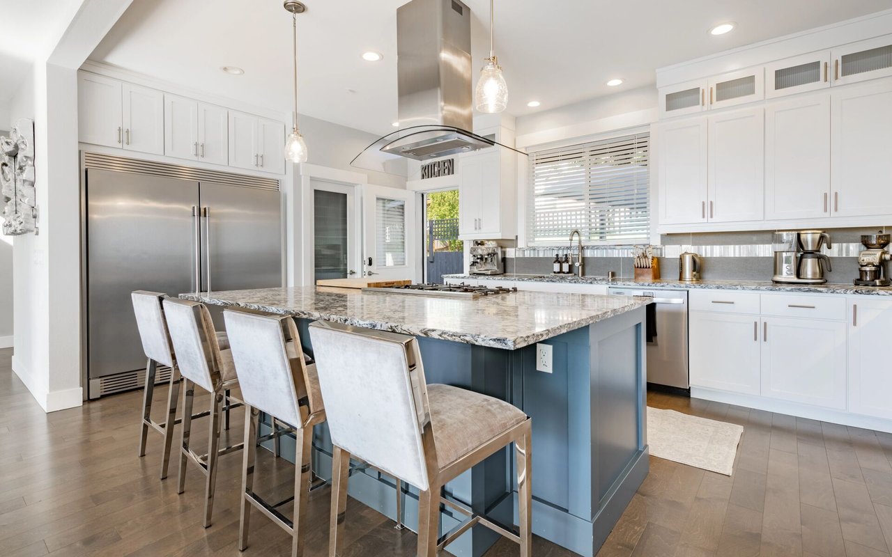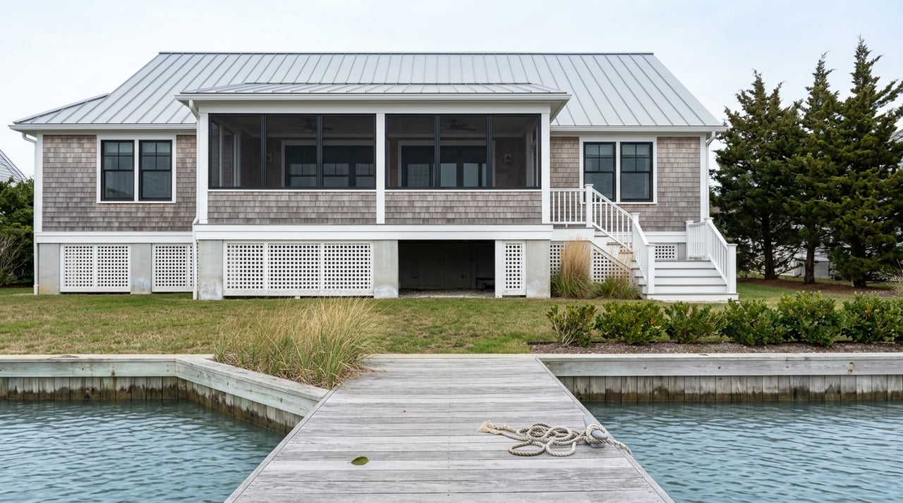
Picture two nearly identical Capes on the market this fall, both listed near $500,000, both in Toms River Township. One sits a half mile west of the Garden State Parkway on a quiet inland street. The other sits on a lagoon street off Barnegat Bay, boat lift included. Same square footage, same bedroom count, same asking price. A buyer working off the listing sheet alone would call these two houses financially equivalent. They are not, and the gap between them has almost nothing to do with the price on the sign.
It has to do with a flood insurance bill that can run into the thousands on one house and barely register on the other, a property tax bill shaped by water proximity as much as square footage, and a state elevation rule that most of the coverage written about it this year already got wrong. That last part matters right now, this month, for anyone comparing towns along the Jersey Shore.
The assumption that doesn't survive contact with a flood zone map
The common shorthand is that barrier island and bayfront living costs more in taxes but buys you the water, while mainland living costs less but keeps you a drive from the beach. That framing skips a line item that only shows up after closing.
Toms River Township's own flood guidance names the waterways it considers hazard-adjacent, and the list runs well past the ocean: Barnegat Bay, the Toms River, Long Swamp Creek, Silver Bay, and Polhemus Creek all appear alongside the Atlantic. That reach is the point. A property doesn't have to touch sand to sit in a mandatory flood insurance zone. It just has to sit near one of those tidal waterways, which describes a large share of the township's lagoon streets in neighborhoods like Silverton, not just the barrier-island blocks of Ortley Beach.
Ocean County carries roughly 23,868 active NFIP flood policies, more than any other county in New Jersey, and the statewide median premium sits at $953 a year. That average hides the real story. A preferred-risk policy in an inland Zone X property can run $400 to $700 a year. A coastal Zone AE or VE property in Ocean County runs $2,500 to $6,000 a year under current pricing. Same county, same insurance program, a spread of more than $5,000 depending entirely on where the parcel line falls.
What the same list price actually costs to hold
| Location type | Typical flood zone | Flood insurance (annual) | Property tax context |
|---|---|---|---|
| Mainland Toms River, away from tidal water | Zone X | $400–$700, often optional | Ocean County's countywide effective tax rate runs near 1.70% |
| Bayfront or lagoon street, Toms River Township | Zone AE, sometimes VE | $2,500–$6,000 | Same municipal rate, but insurance is mandatory with a federally backed mortgage |
| Lavallette, oceanfront barrier borough | Zone AE/VE | $2,000–$5,000+ | Typical annual tax bills run $10,500–$17,500, with oceanfront parcels reaching $20,000–$40,000 |
Run the math on the two Capes from the opening. At Ocean County's roughly 1.70% effective rate, a $500,000 assessment produces a property tax bill near $8,500 either way. The inland house might carry no mandatory flood premium at all. The lagoon house adds $2,500 to $6,000 a year in required insurance on top of that identical tax bill, a 30 to 70 percent increase in annual carrying cost for a house that looks the same on paper. Move the comparison to a barrier-island borough like Lavallette, where premium water frontage pushes typical tax bills past $10,500 before insurance even enters the conversation, and the gap widens further still.
The rule everyone cites already missed its own deadline
Here's where most of what's been written about New Jersey's new coastal flood standards in 2026 needs a second look. The state's Department of Environmental Protection adopted the Resilient Environments and Landscapes rule, known as REAL, on January 20, 2026. It introduces a Climate Adjusted Flood Elevation, or CAFE, that sets new construction and any substantially improved structure four feet above FEMA's Base Flood Elevation in tidal areas, up from the one to two feet required under the old standard.
When the rule was adopted, it came with a 180-day legacy window. Projects with a technically complete permit application on file by July 20, 2026 could still be reviewed under the old, lower elevation standard. Coverage published in the first half of the year, largely aimed at developers and builders, treated that July date as a hard wall: after it, every coastal project in New Jersey would need to clear the new four-foot bar.
That date came and went in July. The wall didn't go up on schedule. Facing pushback from more than 130 New Jersey mayors along with the state's home builders association, the enforcement timeline shifted, and the core elevation standard, while still adopted law, now carries a longer runway before it applies broadly, with the newer target date landing in July 2027 rather than last summer. If you've read a REAL rule explainer dated January through March of this year, it likely still describes the version of the timeline that no longer holds.
Why the extra year changes the math on a fixer
This matters most for anyone eyeing an older cottage on the bay or the barrier island with plans to renovate rather than build new. FEMA's substantial improvement rule, a long-standing federal standard separate from the state's REAL rule, requires that any renovation costing more than half the home's market value bring the entire structure up to current flood elevation requirements. Combine that with the REAL rule's four-foot standard and a gut renovation on a modest bayfront cottage could mean elevating the whole house, not just meeting code on the new work.
With enforcement of the stricter four-foot standard pushed out, a buyer who submits a technically complete permit application before the new deadline may still have a path to renovate under the older, less costly elevation requirement. That window is worth knowing about before you write an offer on a fixer, and it's exactly the kind of detail that a list price alone will never tell you.
None of this changes what your insurer already charges, though. FEMA's Risk Rating 2.0 methodology, in place since 2023, prices flood insurance based on each property's individual elevation, distance to water, construction type, and rebuild cost rather than the flood zone map alone. The state's permitting timeline and your annual insurance bill are two separate clocks, and both need checking before you compare two listings side by side.
Before you compare two listings, get these numbers first
- Ask for the flood zone designation, not just the address. Zone X, Zone AE, and Zone VE carry different insurance requirements and different price floors, and two houses on the same street can sit in different zones.
- Request the elevation certificate if one exists. It documents how high the structure sits relative to Base Flood Elevation, and that number, more than the zone letter, drives what an insurer will actually charge under Risk Rating 2.0.
- Add the flood premium to the tax bill before you compare price tags. A lower list price on a bay or barrier property can still produce a higher monthly carrying cost than a pricier inland home once both numbers are on the table.
The number that actually matters
The median price you see on a portal search describes what a house costs to buy. It says nothing about what it costs to hold for the next ten years, and along Ocean County's tidal edges that second number can move by thousands of dollars a year depending on a flood zone line most buyers never think to ask about. The state's own elevation rule is still catching up to that reality, on a slower timeline than most of what's been written about it this year suggests.
If you're weighing a mainland street against a bayfront one, or trying to figure out what a barrier-island tax bill actually buys you once insurance is added in, Brenda Weld has spent more than two decades working these exact streets across Ocean and Lower Monmouth Counties. Let's Connect and run the real numbers on the specific address you're considering, not just the one on the sign.